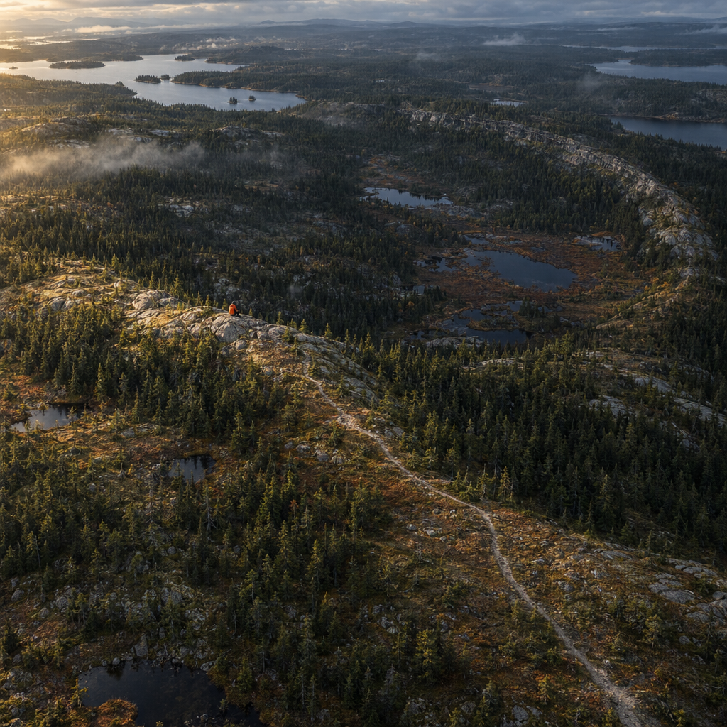
A person looking for a camping place noticed a strange circle on a satellite map of Quebec. Field investigation found shatter cones—rock structures produced by extreme shock—and identified a roughly 25-kilometre impact crater estimated to be 390 million years old.
The map did not discover the crater alone. A human noticed what did not fit. Then boots, stone, and measurement gave the pattern weight.
Imagine a future map with a public layer called This Does Not Fit.
It would not turn every circle into a crater or every hunch into fact. It would hold anomalies without promoting them prematurely. A mark could move through visible states: noticed, compared, visited, measured, confirmed, unresolved, dismissed. Small grants could fund the cheapest honest next contact: a sample, a sensor, a field walk, a local memory checked against terrain. Credit would follow questions that survive testing—not certainty, status, or attention.
Most marks would disappear. Good. A system for discovery must be allowed to remove its own excitement.
Some marks might reveal geology, damaged wetlands, forgotten structures, failing infrastructure—or nothing at all. The value is not that strangers are always right. It is that large systems can remain permeable to small acts of noticing.
We have built maps that answer where.
Now build maps that can receive: What is that?
A planet this old still has unread sentences. Curiosity turns the page. Contact tells us whether the words are there.
